top of page
6.5 km, 440 m of elevation change
Mt. Doug - Gordon Head
Link to GaiaGPS map
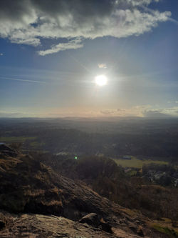
PKOLS
There are so many trails up and around PKOLS. We decided to post the time we started on the Blenkinsop Road side, went up and over and then down to the beach and back again. It ended up being a great workout and a nice sunset too!
 |  |
|---|---|
 |  |
 |  |
 |  |
 |  |
bottom of page