top of page

8.4 km, 474m of elevation change
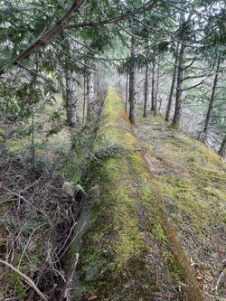
Sooke Hills Wilderness Regional Park

Link to GaiaGPS map

Townsend & Sugarloaf

more coming soon but, don't try to follow the flowline by the road!

20230325_120444
20230325_120450
20230325_115026
20230325_114550
20230325_130448
20230325_114606

All distances and elevations are taken from GaiaGPS.com when we draw our routes.

We acknowledge the welcome and graciousness of many Indigenous peoples on whose land we enjoy our outdoor pursuits. This includes, but is not limited to the LÉ™k̓ʷəŋən (Kosapsum and Songhees), W̱SÁNEĆ (Pauquachin, Tsartlip, Tsawout, Tseycum), T'Sou-ke, Scia'new, Coast Salish, Pacheedaht, Nuu-chah-nulth, Quw'ustun, Malahat, Stz'uminus, Hupacasath and Tsehaht peoples.

  • Instagram
  • Facebook

@Directionallycorrect2023

bottom of page